
NEW SOUTH WALES STATE & SUBURBAN MAP 270 30TH
$11.99
NEW SOUTH WALES STATE & SUBURBAN MAP 270 30TH
Temporarily out of stock
ISBN: 9780731933105
The latest edition of the New South Wales state and suburban map has been fully revised and updated.
It includes state mapping at a scale of 1: 1 600 000 plus an index to towns and localities on one side and on the other side there is Sydney and surrounds suburban coverage north to Gosford, south to Douglas Park and Stanwell Park, along the coast from Palm Beach to Coalcliff and west to Springwood plus an index to the suburbs and localities included on this map.
With all this information contained in this handy fold up map this is an essential tool when travelling around New South Wales and the Sydney region.
Author: UBD GREGORY'S
Publication date: 01/02/2023
Additional information
| Dimensions | 1000 × 690 mm |
|---|
Related products
-
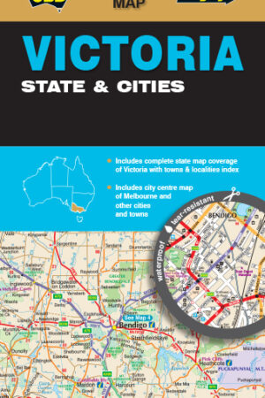
VICTORIA STATE & CITY MAP 319 *9TH EDITION
$13.99 -

MELBOURNE CITY & SUBURBS MAP 362 7TH EDITION
$11.99 -
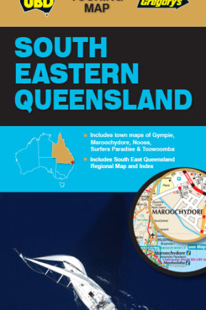
SOUTH EAST QUEENSLAND MAP 431 *9TH EDITION
$10.99 -
NEW SOUTH WALES STATE AND CITIES MAP 219 *9TH EDITION WATERPROOF
$12.99 -
SOUTH AUSTRALIA STATE & SUBURBAN MAP 570 31ST EDITION
$11.99 -
UBD SYDNEY CITY STREETS & SUBURBS MAP 262 8TH ED
$12.99 -
WORLD PHYSICAL MAP 100 21ST EDITION
$12.99 -
AUSTRALIA MAP 149 7TH EDITION
$11.99 -

CANBERRA CAPITAL COUNTRY & SNOWY MOUNTAINS STREET DIRECTORY 2024 28TH
$24.99 -
*DNR OLD EDITION *QUEENSLAND STATE MAP *12TH EDITION
$14.95
Reviews
There are no reviews yet.