TASMANIA STATE & CITIES MAP 9TH EDITION *WATERPROOF
$13.99
TASMANIA STATE & CITIES MAP 9TH EDITION *WATERPROOF
Temporarily out of stock
ISBN: 9780731932665
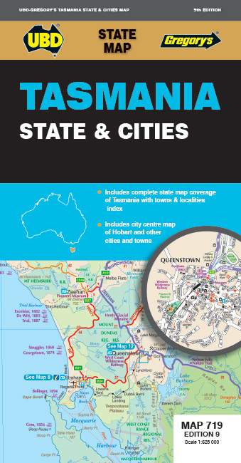
The latest edition of the Tasmania state and cities map has been fully revised and updated and includes:
State mapping at a scale of 1 : 625 000 and an index to towns and localities
Street Level mapping for Hobart and Launceston at a scale of 1 : 10 000, Devonport, Penguin, Burnie, Bicheno, Deloraine, Stanley, St Helens, Strahan, Ulverstone, Oatlands and Queenstown at a scale of 1 : 25 000.
Bruny Island coverage at a scale of 1 : 240 000.
There is also information on the best ways to discover Tasmania.
With all this information contained in this handy fold out map this is an essential too to carry when navigating your way around Tasmania.
Publication date: 01/03/2023
Additional information
| Dimensions | 920 × 690 mm |
|---|


Reviews
There are no reviews yet.