
COLLINS WORLD WALL LAMINATED MAP
$28.99
COLLINS WORLD WALL LAMINATED MAP
1 in stock
ISBN: 9780008492540
Explore the world with a Collins wall map
Fully updated world map to include the latest political changes. Contains politically coloured mapping showing each country and their capital city, major roads, railways and cities and towns clearly. Also included are national flags, key statistics for every country and inset maps of the polar regions.
This laminated (on front side only) map is printed on high quality paper and comes rolled in a plastic tube – ideal as a poster for any classroom, bedroom or office wall.
Area of coverage:
All of the world, centred on the Greenwich Meridian, and including maps of the North and South Pole regions.
Scale:
1:22 000 000; 1 cm to 220 km; 1 inch to 347 miles
Size:
1015 x 1380 mm (40 x 54 inches)
Other versions available:
Paper flat map in tube (ISBN 978000821158-5).
Author: COLLINS
Publication date: 03/11/2022
Related products
-

UBD MELBOURNE SUBURBS & CITY CENTRE MAP 318 9TH ED
$10.99 -
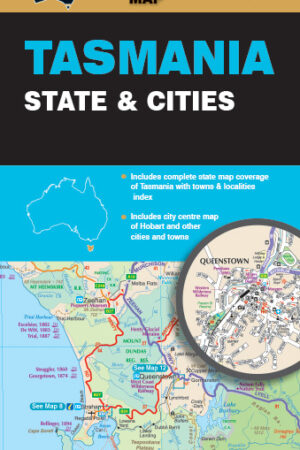
TASMANIA STATE & CITIES MAP 9TH EDITION *WATERPROOF
$13.99 -
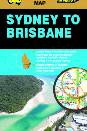
SYDNEY TO BRISBANE MAP 244 *9TH EDITION
$11.99 -
TOP END & GULF 7TH EDITION
$14.95 -
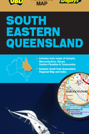
SOUTH EAST QUEENSLAND MAP 431 *9TH EDITION
$10.99 -
MELBOURNE CITY STREETS & SUBURBS MAP 362 8TH EDITION
$11.99 -
DARWIN & TOP END TOURING MAP 21ST EDITION
$11.99 -
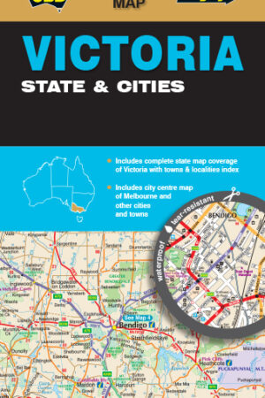
VICTORIA STATE & CITY MAP 319 *9TH EDITION
$13.99 -
SOUTH AUSTRALIA STATE & SUBURBAN MAP 570 31ST EDITION
$11.99 -
UBD SYDNEY CITY STREETS & SUBURBS MAP 262 8TH ED
$12.99
Reviews
There are no reviews yet.